
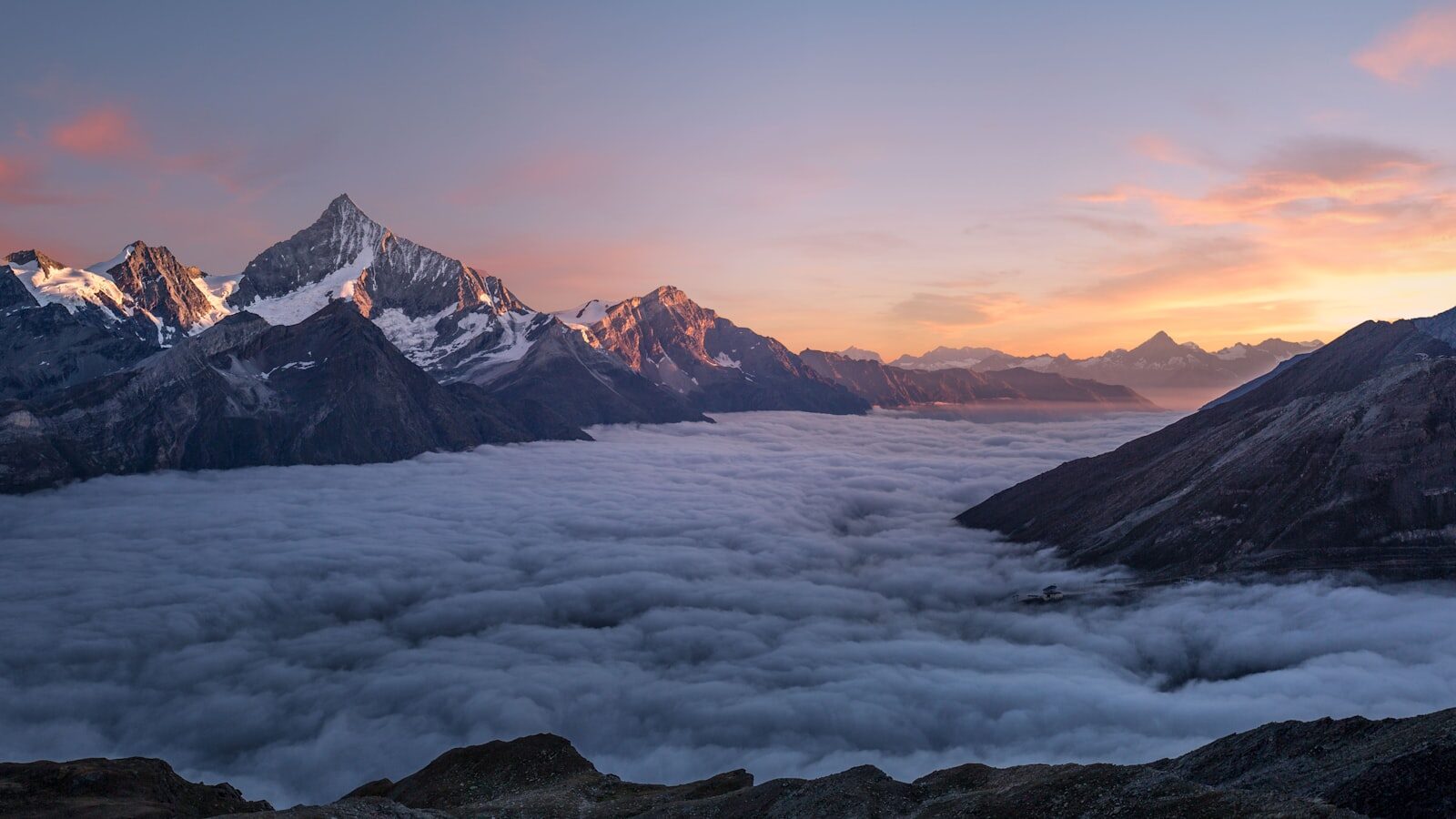
Maubisse is a cool hill town at about 1,400 m in Ainaro municipality, about 70 km south of Dili by road via Aileu, and the usual stop on the way to Mount Ramelau. The official tourism site describes it as a ridge-top town surrounded by Arabica coffee country, with misty mountain views and a welcome break from the coastal heat. This page covers the town itself; for the wider municipality, see our Ainaro guide.
Quick answers
| Question | Answer |
|---|---|
| Where is it? | Ainaro municipality, in the central highlands south of Dili |
| Altitude | About 1,400 m (official tourism site) |
| Distance from Dili | About 70 km by road, via Aileu |
| Drive time | About 2–3 hours, according to the official tourism site; allow longer in the wet season |
| Climate | Much cooler than the coast; nights are cold, so bring warm layers |
| Known for | Coffee, the old Portuguese-era pousada, a traditional market, highland walks |
| Onward to Ramelau | Continue to Hatu Builico, the village at the foot of Mount Ramelau (2,963 m) |
| Where to stay | Small guesthouses; the historic pousada is closed (as of October 2026) |
Where Maubisse is
Maubisse is an administrative post and town in the north of Ainaro municipality, on the main mountain road that runs south from Dili through Aileu towards Hatu Builico and Mount Ramelau. The town sits along a ridge with views over the surrounding valleys. Local communities are Mambae, and the official tourism site recommends guided walks to traditional Mambae villages, known for their distinctive architecture.
Sources differ on the altitude: the official tourism site gives about 1,400 m, while some travel writers quote 1,526 m. We use the official figure.
Getting there from Dili
The road runs south from Dili over the mountains, through Aileu, to Maubisse. The official tourism site describes it as a paved road and puts the journey at about 2–3 hours for roughly 70 km. Mountain roads are narrow and winding, and heavy rain can cause landslides and closures, so build in extra time, especially between December and May. Our getting around guide gives a wider range of 3–5 hours depending on route and conditions.
- By hired car with driver: the easiest option for most visitors, and convenient if you are continuing to Hatu Builico. See getting around for rental and driver options.
- By public transport: buses and minibuses to the mountains leave Dili’s Taibessi terminal early in the morning once they are full. Ask at the terminal for the Maubisse service.
- By motorbike: possible on the main road, but only for experienced riders; the road is steep and winding.
Aileu is a good place to stop for a break on the way. See the Aileu guide for what to see there.
Climate and what to pack
Maubisse is far cooler than Dili. UNDP puts mean annual temperatures at about 15°C in the mountains against about 27°C at sea level, and nights in the highlands are cold all year. Rainfall is also higher in the mountainous interior than on the north coast, so mist and showers are common, and the wet season lasts longer here. See weather and seasons for month-by-month advice.
Pack a warm jacket or fleece, long trousers and a rain jacket, even in the dry season. Bring US dollars in cash, as card payments and ATMs are limited outside Dili; see money and currency.
Things to do in Maubisse
Pousada de Maubisse
The Pousada de Maubisse is a Portuguese-era building on the hill above the town, built as a mountain residence, with wide views across the valley. It later ran as a small hotel. As of October 2026 it is closed: visitors found it closed for renovation in late 2024, and it no longer appears in the official tourism site’s accommodation listings. You can still see the building from the town; check locally whether visitors can go up to the grounds.
Coffee country
Maubisse sits in highland Arabica coffee country, with coffee grown on the steep slopes around the town. The official tourism site recommends the town for coffee lovers, and its seven-day itinerary includes a visit to an organic coffee plantation near Maubisse to see the process from farm to cup. For cooperatives, farm visits and the harvest season, see our coffee tourism guide.
The market
The official tourism site lists the traditional market in Maubisse as an attraction, and its itinerary describes a morning market for local produce and handicrafts. We could not confirm the market days from an official source, so ask at your guesthouse which days the main market runs, and go early.
Walks, viewpoints and waterfalls
The official tourism site suggests highland trekking and guided walks to Mambae villages around Maubisse. In the wider area it lists the Rabilau Panorama Observation Deck, Gruta Bihiturem, a sacred site, and several waterfalls in Ainaro, including Ersalibuti, which can be reached from the Hakmatek community just south of the town. Go with a local guide: your guesthouse can usually arrange one.
Maubisse as a base for Mount Ramelau
Maubisse is the last sizeable town before Hatu Builico (about 2,000 m), the village where the sunrise hike up Mount Ramelau begins. Ramelau, also known as Tatamailau, is the highest point in Timor-Leste at 2,963 m.
- Drive: the full trip from Dili to Hatu Builico takes about 4–5 hours via Aileu and Maubisse. The last section after Maubisse is rougher, and a 4WD is recommended.
- Overnight: most hikers sleep in Hatu Builico the night before. Sleeping in Maubisse is possible if you are happy with an earlier departure, as sunrise climbs start around 3:00–4:00 am.
- Onward transport: from Maubisse to Hatu Builico it is informal (minibuses or angguna trucks), so ask locally or hire a car with a driver.
Read the Mount Ramelau guide for the climb, guides and what to pack.
Where to stay
Maubisse has a handful of small guesthouses. Book ahead and confirm by phone, as listings change.
| Place | Notes |
|---|---|
| Sara Guesthouse | Listed by the official tourism site: 8 rooms, from US$25 to US$35 a night with breakfast; phone +670 7574 4116 |
| Café Maubisse Guest House | Small guesthouse with a café opposite the church; we could not confirm it is operating, so call first |
| Hakmatek Eco Accommodation | Community-run eco guesthouse just south of the town; confirm before you travel |
| Pousada de Maubisse | Closed for renovation (as of October 2026) |
More options in our accommodation directory.
Frequently asked questions
How far is Maubisse from Dili?
About 70 km south by road, via Aileu. The official tourism site puts the drive at about 2–3 hours; allow more time in the wet season or if the road is under repair.
Is the Pousada de Maubisse open?
No. As of October 2026 the historic pousada is closed for renovation and is not taking guests. Stay at one of the town’s guesthouses instead.
How cold does Maubisse get?
Much colder than the coast. UNDP gives a mean annual temperature of about 15°C in the mountains, compared with about 27°C at sea level, and nights are cold all year. Bring warm layers and a rain jacket.
Can I climb Mount Ramelau from Maubisse?
Maubisse is a convenient stop on the way, but the hike starts in Hatu Builico, further south. Most hikers sleep in Hatu Builico; staying in Maubisse means a very early start to reach the trailhead before dawn.
Is Maubisse worth visiting without climbing Ramelau?
Yes, if you want cool air, coffee country and highland walks. It also makes a good overnight stop on a loop through Aileu and Ainaro.
Sources
- Timor-Leste official tourism site: Maubisse
- Timor-Leste official tourism site: 7-day itinerary
- Timor-Leste official tourism site: Sara Guesthouse
- Timor-Leste official tourism site: Knua Hakmatek
- Timor-Leste official tourism site: Mount Ramelau
- UNDP Climate Change Adaptation: Timor-Leste country profile (PDF)
- Jonty NZ, “Maubisse” (October 2025), visit in November 2024: pousada closed for renovation
- OpenStreetMap: Maubisse