
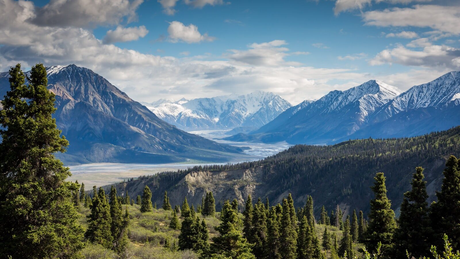
Mount Ramelau (Tatamailau), at 2,963 m the highest point in Timor-Leste, is climbed on a 2–3 hour sunrise hike that starts in the dark from Hatu Builico (about 2,000 m), a 4–5 hour drive south of Dili via Aileu and Maubisse. No technical climbing is needed, but nights are cold all year, so pack warm layers, a headlamp and water, and treat the summit, with its statue of the Virgin Mary, as the sacred place it is.
Mount Ramelau — known in Tetum as Foho Tatamailau — is the highest mountain on the island of Timor and the highest point in Timor-Leste, rising to 2,963 m above sea level.
Location and Access
The mountain lies about 40 km south of the capital Díli as the crow flies, in the administrative post of Hatu Builico (also spelled Hato Builico or Hatobuilico), municipality of Ainaro. The road via Aileu and Maubisse is much longer and winding. Most hikers reach the summit in two to three hours from Hatu Builico; allow three to four hours with rests. On a clear day, you can see virtually the whole country from the summit.
Mount Ramelau at a glance
| Height | 2,963 m (official tourism board) |
| Location | Hatu Builico, Ainaro municipality |
| Trailhead | Hatu Builico, at about 2,000 m |
| Drive from Dili | About 4–5 hours, via Aileu and Maubisse; 4WD or motorbike |
| Climb | About 2–3 hours up, 1.5–2 hours down |
| Best months | June to October (dry season) |
| At the summit | Statue of the Virgin Mary; views across the island at sunrise |
| Pilgrimage | Annual pilgrimage to the summit each October |
How to climb Mount Ramelau
Getting from Dili to Maubisse and Hatu Builico
The route runs south from Dili over the mountains through Aileu to Maubisse (about 1,400 m), then on to Hatu Builico, the village at the foot of the mountain. Allow:
| Leg | Approximate time | Notes |
|---|---|---|
| Dili to Maubisse | About 2–3 hours (official tourism site); longer in the wet season | Narrow, winding mountain road |
| Dili to Hatu Builico | About 4–5 hours | Last section is rougher; 4WD recommended |
- Vehicle: the official tourism site says a 4WD or motorbike is required to reach the mountain. Most visitors hire a car with a driver in Dili; see getting around Timor-Leste.
- Public transport: buses and minibuses heading south to the mountains leave Dili’s Taibessi terminal early in the morning once full. Onward transport from Maubisse to Hatu Builico is informal (minibuses or angguna trucks), so ask locally.
- Don’t drive at night: mountain roads are unlit, and in the wet season landslides can close them. Arrive in daylight the afternoon before your climb.
The sunrise hike
The classic way to climb Ramelau is the sunrise trek, which starts in the dark from Hatu Builico.
| Start time | About 3:00–4:00 am, to reach the top by sunrise |
| Ascent | About 2–3 hours |
| Descent | About 1.5–2 hours |
| Height gain | About 800–1,000 m |
| Trail | A path from the shrine area above the village, rocky with loose stone higher up |
| Difficulty | Moderate to strenuous; steep in places but no climbing skills needed |
| Water | None on the route; carry 3–4 litres per person |
At the summit stands a statue of the Virgin Mary, the focus of prayer and pilgrimage. On a clear morning the view takes in much of the island. Weather can change quickly at altitude and the trail is harder to follow in cloud, so turn back if visibility drops. Mobile coverage is patchy above 2,000 m. Full trail stages and a gear list are in our hiking guide.
Do you need a guide?
The official tourism site describes the climb as a guided sunrise trek, and we recommend going with a local guide, especially for the pre-dawn start: the path is easy to lose in the dark or in cloud, and a guide from the community can explain the mountain’s customs. No official permit or entry fee is published; check locally when you arrive. Your guesthouse in Hatu Builico or Maubisse can usually point you to a guide, the community tourism association ASTRABEKA in Hatubuilico can arrange guides and homestays, or you can book through one of the tour operators in Timor-Leste.
Where to stay
Sleep the night before in Hatu Builico, or in Maubisse if you are happy with an earlier departure.
- Hatu Builico: a few simple guesthouses operate in the village; the official tourism site lists Alecrim Namrau. Book ahead and confirm by phone.
- Maubisse: the old Pousada Maubisse, on a hill above the valley, is closed (as of October 2026). Café Maubisse Guest House, across from the church, is the alternative here; its status is unconfirmed, so check it is open before you travel.
More options in our accommodation directory.
Cold temperatures and what to pack
The mountains are much cooler than the coast: UNDP puts mean annual temperatures at about 15°C in the mountains against about 27°C at sea level, and nights on Ramelau are cold all year. The official tourism site advises packing warm layers, even this close to the equator.
- Warm jacket, hat and gloves, plus a windproof layer for the summit
- Rain jacket, whatever the season
- Headlamp or torch with spare batteries
- Sturdy shoes or boots with good grip
- 3–4 litres of water and snacks or breakfast for the summit
- Sun protection for the descent, and cash for guides and guesthouses
Best time to climb
Go in the dry season. Our weather and seasons guide recommends June to October for dry trails and the clearest sunrise views; June to August are the coolest months. In the wet season (roughly December to April, longer in the mountains), trails are muddy and slippery, views are often lost in cloud and roads can be closed.
Pilgrimages
Ramelau is a place of Catholic pilgrimage as well as a hike. The official tourism site notes an annual pilgrimage to the summit each October, and religious celebrations draw large numbers of visitors to the statue. Expect the trail and village accommodation to be busy at these times; check dates locally.
Respect at the summit
Tatamailau is a sacred mountain and a protected area. When the shrine reopened after the COVID-19 closure in 2020, the Ministry of Tourism and the Diocese of Dili asked visitors to respect it as a sacred place and to avoid vandalism, littering, lighting fires and rowdy behaviour.
- Carry all rubbish back down.
- Keep voices low near the statue, especially during prayers or mass.
- Ask before photographing people, ceremonies or sacred houses (uma lulik) in the villages.
- Stay on the path and don’t light fires.
Name and Meaning
| Name | Language / Origin | Meaning |
|---|---|---|
| Tatamailau | Mambai dialect | ”Grandfather of all” |
| Ainaro | Mambai dialect | ”High tree” |
| Hatu Builico | Mambai dialect | ”Loose stone” |
| Ramelau | Indonesian (occupation era, 1975–1999) | Administrative designation |
Mambai is one of the many languages of East Timor and the native tongue of the Ainaro region.
Historical Significance
During the Portuguese colonial period, Tatamailau was considered the highest mountain in the Portuguese Empire. Today it remains the highest point of all former Portuguese colonies, with the exception of Brazil (whose highest peak, Pico da Neblina, reaches 2,995 m).
Spiritual Beliefs
According to local belief, when a native of the Ainaro region dies, his spirit travels to the summit of Tatamailau. This sacred role is reflected in the words of Nobel Peace Prize laureate José Ramos-Horta:
“Ramelau: The sacred Mountain where the souls of the dead gather before journeying on to Heaven. It is also there where our deceased Leaders gather when a crisis befalls Timor to explore possible paths back to Peace.”
“When someone dies, the soul is released from the body and flies to Mount Ramelau. There in Mount Ramelau he/she will wait for a minute or two, or an hour or two, and if the soul had been cleared of any capital sin, the Good Angel will descend from Heaven and lovingly hold by the hand and guide him/her to Heaven. However, if the person had committed profane sins and died in sin, it will be the damned Satan who will drag the sinful soul to the eternal flames.”
— José Ramos-Horta, June 20, 2016
Frequently asked questions
How high is Mount Ramelau?
Mount Ramelau (Tatamailau) is 2,963 m high, according to Timor-Leste’s official tourism board, which makes it the highest point in the country. Other sources give slightly different figures, from about 2,960 m to 2,986 m.
Is Tatamailau the same as Mount Ramelau?
Yes. Tatamailau, “grandfather of all” in the Mambai language, is the local name; Ramelau is the name used during the Indonesian period, and foho simply means mountain in Tetum. Foho Ramelau, Mount Ramelau and Tatamailau all refer to the same peak in Ainaro municipality.
How long does it take to climb Mount Ramelau?
The climb from Hatu Builico takes about 2–3 hours up and 1.5–2 hours down. For sunrise, hikers usually set off around 3:00–4:00 am. Allow a full day, plus the 4–5 hour drive from Dili, and stay in Hatu Builico or Maubisse the night before.
How do I get from Dili to Mount Ramelau?
Drive south via Aileu and Maubisse to Hatu Builico, which takes about 4–5 hours. The official tourism site says a 4WD or motorbike is required, and most visitors hire a car with a driver. Buses to the mountains leave Dili’s Taibessi terminal early in the morning once full, but onward transport to Hatu Builico is informal.
Do I need a guide to climb Mount Ramelau?
No official permit is published, but a local guide is recommended, especially for the pre-dawn sunrise hike, when the path is hard to follow in the dark or in cloud. Ask your guesthouse or a tour operator to arrange one.
When is the best time to see the sunrise on Mount Ramelau?
Go in the dry season, ideally June to October, when trails are dry and mornings are clearest. Start in the dark to reach the summit before sunrise, and bring warm layers: it is cold at the top in every month.
Is there a pilgrimage to Mount Ramelau?
Yes. A statue of the Virgin Mary stands on the summit, and the official tourism site notes an annual pilgrimage each October. Expect crowds at that time and treat the summit as a sacred place.
Related Guides
- Manufahi Municipality - Mountain-to-Coast Diversity Guide
- Mount Matebian
- Maubisse, Timor-Leste: Highland Town Guide
- The Five Summits of Timor-Leste: An 8-Day Trek Challenge
- Mount Ramelau Eco-Trail Sustainable Management Plan
Sources
- Timor-Leste official tourism site: Mount Ramelau
- Timor-Leste official tourism site: The Five Summits
- Timor-Leste official tourism site: Mount Ramelau shrine re-opens to visitors
- Timor-Leste official tourism site: Taxis and car/motorbike rentals
- UNDP Climate Change Adaptation: Timor-Leste country profile (PDF)
- Government of Timor-Leste: About the country
- Timor-Leste official tourism site: Maubisse (altitude, drive time from Dili)