
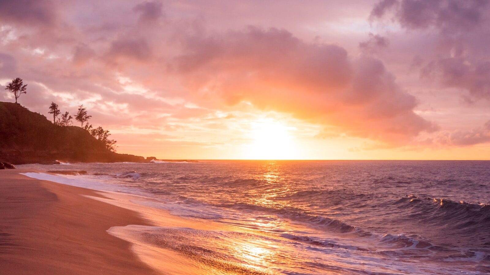
Atauro is a small, mountainous island about 25 km north of Dili, reached by a 2¼–3 hour ferry or a short MAF flight, and it is worth the trip for its reefs: in 2016 Conservation International scientists recorded an average of 253 reef fish species per survey site around the island, the highest average ever documented. Add simple community-run guesthouses and eco-lodges, village crafts such as the hand-sewn Atauro dolls, hiking up Mount Manucoco (995 m) and whale season from October to December, and it is the easiest island escape in Timor-Leste. Bring US dollars in cash: do not count on finding an ATM on the island.
Atauro Island at a glance
| Question | Answer |
|---|---|
| Where is it? | About 25 km north of Dili, across the Wetar Strait |
| Population | 10,295 (2022 census) |
| Status | Its own administrative division since Law 19/2023, run by the Ataúro Administrative Authority from Vila Maumeta |
| How to get there | APORTIL ferry (US$4–5 cash, not Mondays), private boat or MAF flight. See the Dili to Atauro ferry guide |
| Where you arrive | Beloi pier, on the east coast |
| Best known for | Diving and snorkelling, record reef-fish diversity, hiking, crafts |
| Highest point | Mount Manucoco, 995 m |
| Best time | Dry season, May to November; whales October to December |
| Money | US dollars in cash; withdraw in Dili before you cross |
| Where to stay | Small eco-lodges, dive resorts and homestays, mostly in Beloi |
Atauro Island map and location
Atauro lies about 25 km north of Dili across the Wetar Strait, between the Indonesian islands of Alor and Wetar. The island is about 25 km long and 9 km wide.
- Beloi, on the east coast, is where the ferry and most boats land, and where most dive resorts and eco-lodges are.
- Vila Maumeta (Vila), the main town, is in the southeast, with the airstrip nearby and the Boneca de Ataúro and Biojoia craft workshops, next to the Manukoko Rek guesthouse.
- Mount Manucoco (995 m) rises near the south of the island.
- The west coast, including the village of Adara, has the most popular dive sites.
- The five sucos are Beloi and Biqueli in the north, Macadade in the southwest, and Maquili and Vila Maumeta in the southeast.
Why Visit Atauro Island?
Enticingly close to Dili, Atauro Island’s siren song can be heard when the capital seems just too steamy, dirty and loud. Located directly north of Dili, just 25 km across the Wetar Strait, this 140 sq km island stretches about 25km north to south and is home to about 10,300 people (10,295 in the 2022 census, when Atauro was counted as a municipality; since Law 19/2023 it has been its own administrative division, run by the Ataúro Administrative Authority, see Timor-Leste facts). The island is divided into five sucos (villages): Beloi and Biqueli in the north, Macadade in the southwest, and Maquili and Vila Maumeta in the southeast. Vila is the largest settlement.
The main reason to go is underwater. During a one-week Conservation International Rapid Assessment survey in 2016, scientists recorded an average of 253 reef fish species per site across 10 reef sites, above the previous record of 216 from Raja Ampat in Indonesia, and 642 reef fish species in total. One site alone had 315 species.
Reachable by ferry or water taxi, Atauro offers a handful of small and delightful places to stay where you can relax while working up the energy for amazing diving, snorkelling, remote trekking, or simply reading. If you like a place where the water is so clear you can see the fish as you arrive, where you can stay in a simple thatched beachside hut with your day entirely your own — you’ll love Atauro Island, where days can easily turn into weeks. Much of the island’s tourism is run by local families and community groups (see ATKOMA). To compare Atauro’s beaches with others around the country, see our guide to the best beaches in Timor-Leste.
Things to do on Atauro
Diving and snorkelling
There are dive sites all around the island, with the most popular concentrated along the west coast. From Beloi, where the ferry lands, the reef starts close to the shore, and several dive operators are based along the beachfront. On the quieter west coast, the village of Adara is another base for snorkelling; arrange transfers and boat trips through your accommodation.
Principal dive sites:
| Site | Location |
|---|---|
| Rob’s Spot | North of the west coast |
| Watertank | Near Atekru |
| Barry’s Barstool | Off Beloi |
| Big Fish Rock | Southern west coast |
| Shark Point | Southern west coast |
| Manta Cove | Towards the southeast point |
Dive operators listed by the official tourism site: Atauro Dive Resort (Beloi, PADI), Beloi Beach Hotel Dive Resort (Beloi, PADI courses and guided dives), Compass Diving, Beni-Marine and Mysaffy Atauro Island Adventures (Beloi, near the port) on the island, and Timor Sunshine Divers, which runs boat dives across the strait from Dili. Contacts change, so confirm with the operator before you travel. For more detail on sites and safety, see the dive site guide and dive operators in Timor-Leste.
Beyond the reef, dolphins and pilot whales may be encountered between the island and Dili, and dugongs are spotted around the island.
Hiking to Mount Manucoco
Mount Manucoco (995 m) is Atauro’s highest point, near the south of the island. Trails also link the villages across the island. The island is dry for most of the year and the Ataúro Administrative Authority notes a lack of clean drinking water in the dry season, so carry plenty of water, start early, and ask your accommodation or ATKOMA to arrange a local guide. Route times and conditions are best checked locally. For general advice, see the hiking guide.
Villages, crafts and Atauro dolls
Atauro is known for its handicrafts: carved wooden figures, woven reed crafts and the Boneca de Ataúro dolls. Three craft groups listed by the official tourism site are worth a visit:
- Boneca de Ataúro, Vila Maumeta: a women’s sewing collective making hand-embroidered dolls, bags and educational toys since 2006. You can visit the workshop and meet the makers.
- Biojoia de Ataúro, Vila Maumeta: a cooperative whose deaf and hearing-impaired artisans make jewellery and gifts from seeds, shells and other natural materials gathered on the island.
- Sentro Atauro Diak, Beloi: a craft centre run by the social enterprise Empreza Diak, selling wood carvings, weaving, metalwork and clay pots from artisans across the island.
Opening hours are not published; ask your accommodation before you go. Other beaches worth a trip include Acrema (Akrema), a white-sand beach that is very shallow at low tide. See arts, crafts and shopping for crafts elsewhere in the country.
Whale and dolphin watching
From October to December, pygmy blue whales, sperm whales and other species migrate through the Ombai-Wetar Strait between Timor-Leste and Indonesia, and whale-watching tours leave from Dili or Atauro. ATKOMA also lists whale watching among its community trips. See dolphins and whales.
Getting to Atauro
The cheapest way is the APORTIL government ferry from Dili: it sails every day except Monday at 8:00am, returns from Beloi at 3:00pm, takes about 2¼–3 hours and costs US$4–5 in cash, bought at the port on the day of travel. Faster options are private boats booked through Atauro hotels and MAF light-aircraft flights from Dili airport, requested through MAF’s online form. All crossings depend on the weather, and smaller operators listed in older guidebooks may no longer be running. For ferry days, departure points, tickets and sea conditions, see our full Dili to Atauro ferry, boat and flight guide.
Safety note: local fishing and outrigger boats often carry no radio or lifejackets, and the Wetar Strait can become very rough. Check the boat’s safety equipment before you board. See is Timor-Leste safe?
Getting around the island
There is no public transport timetable on Atauro. A paved road links Vila to Pala; the other villages are connected by dirt roads, and the airstrip is near Vila Maumeta.
- Arrange transport through your accommodation. Most places to stay collect guests from Beloi pier or the airstrip and know which local drivers are working.
- Local drivers can be hired by the trip or for the day: agree the price before you set off.
- Remote villages and the west coast are often easier to reach by boat or on foot than by road.
Where to stay on Atauro
Accommodation is small-scale: eco-lodges, dive resorts, thatched beach huts and community homestays, most of them around Beloi, near the pier. Places fill up at weekends, when Dili residents come over, so book before you cross.
| Place | Area | Good for |
|---|---|---|
| Atauro Dive Resort | Beloi | Thatched bungalows and an on-site PADI dive centre |
| Beloi Beach Hotel Dive Resort | Beloi | Small hotel with dive courses and its own boat from Dili |
| Compass Atauro Beach Eco-Lodge | Beloi, about 5 minutes’ walk from the pier | Snorkelling from the shore |
| Community homestays | Several villages | Book through ATKOMA |
Electricity can be limited at some lodges and many take cash only. Browse more options on our accommodation pages.
Money and what to bring
- Cash: Timor-Leste uses the US dollar. Outside Dili ATMs are rare, so do not count on finding an ATM on Atauro: withdraw enough cash in Dili for the ferry, accommodation, food, boat trips and crafts. Several lodges accept cash only. See money and currency.
- Water: carry drinking water on hikes and on the ferry.
- Sun and rain protection, reef-safe sunscreen and your own snorkel mask if you have one.
- Your accommodation’s phone number, so they can meet you at Beloi.
When to Go
Like Dili, the best weather on Atauro Island is during the dry season from May to November, and Atauro is on the drier north coast. During this period you can enjoy:
- Swimming and snorkelling in calm, clear water
- Trekking the island’s trails
- Whale season, October to December, when whales migrate through the Ombai-Wetar Strait
In the wet season, roughly December to April, seas are rougher and ferry crossings are occasionally cancelled, so build a spare day into your plans. Be sure to book accommodation in advance — Atauro has become a popular weekend escape for Dili residents and availability is limited. See Timor-Leste weather and seasons.
Community tourism and ATKOMA
ATKOMA (Asosiasaun Turizmu Koleku Mahanak Ataúro) is Atauro’s community-based tourism association. The official tourism site lists it for homestays, boat trips, snorkelling and whale watching (+670 7737 5489, ataurotourism.org). Booking through local guesthouses, guides and craft groups keeps money on the island. Read more on our ATKOMA page.
The island’s small communities are easily affected by visitors: dress modestly in villages, ask before taking photos of people, and take your rubbish back to Dili.
Frequently asked questions
Is Atauro Island worth visiting?
Yes, especially if you snorkel or dive. Conservation International recorded an average of 253 reef fish species per site around Atauro in 2016, the highest average ever documented, and the island also offers quiet beaches, hiking and village crafts. It is the easiest island trip from Dili.
How do I get to Atauro Island from Dili?
Take the APORTIL ferry from Dili (every day except Monday, 8:00am, US$4–5 cash, about 2¼–3 hours), a private boat booked through an Atauro hotel, or an MAF flight from Dili airport. Full details are in our Dili to Atauro ferry guide.
Can you visit Atauro as a day trip?
Yes, on ferry days: the ferry leaves Dili at 8:00am and returns from Beloi at 3:00pm, giving you a few hours for snorkelling near Beloi. To dive, hike Mount Manucoco or visit the craft groups in Vila, stay at least one night.
What is the diving like on Atauro?
Diving runs all year, with the most settled conditions in the dry season. Most popular sites are on the west coast, and the reef off Beloi is close to the shore. Several PADI operators are based in Beloi, and Dili dive shops run boat trips across the strait.
Where should I stay on Atauro?
Most accommodation is in Beloi, near the ferry pier: dive resorts, eco-lodges and beach huts, plus community homestays bookable through ATKOMA. Book ahead for weekends and public holidays.
Are there ATMs on Atauro Island?
Do not count on one. ATMs are rare outside Dili, and several Atauro lodges accept cash only, so withdraw enough US dollars in Dili before you cross.
When is the best time to visit Atauro?
The dry season, May to November, brings the calmest crossings and clearest water. Come between October and December for whale season in the Ombai-Wetar Strait.
How big is Atauro Island?
About 140 km²: roughly 25 km long and 9 km wide, according to Timor-Leste’s state news agency Tatoli. It had 10,295 inhabitants in the 2022 census.
How far is Atauro from Dili?
About 25 km north of Dili at the closest point, across the Wetar Strait; the boat crossing from Dili port to Beloi is longer, about 37 km in a straight line on Google Maps. The APORTIL ferry takes about 2¼–3 hours, private boats are faster, and an MAF flight from Dili airport is the quickest option. See the Dili to Atauro ferry guide.
Are there crocodiles on Atauro?
Official travel advice does not single out Atauro. The UK government says crocodiles are frequently seen in inland waterways, on the south coast and in the eastern region, and occasionally at beaches near Dili; Canada says crocodile attacks occur across the country. Both advise getting local advice before going into the water, so ask your accommodation or dive operator on Atauro. See is Timor-Leste safe?
What are Atauro dolls?
Hand-embroidered cloth dolls made by Boneca de Ataúro (“Dolls of Ataúro”), a women’s sewing collective in Vila Maumeta that has made dolls, bags and educational toys since 2006. You can visit the workshop and buy directly from the makers; opening hours are not published, so ask your accommodation first.
Related Guides
- Marine Conservation & Eco-Tourism Guide
- How Much Does a Trip to Timor-Leste Cost? (2026 Prices)
- Destination Plan Ataúro Island (Coral Triangle Tourism Project)
- Wawata Topu: The Women Free-Divers of Atauro Island
- Festival da Bua: Ataúro’s areca nut harvest festival
Sources
- Tatoli: Atauro, 25 km north of Dili
- General Directorate of Statistics (INETL) – 2022 Census data sheet
- UNFPA Timor-Leste – 2022 Census final results
- Timor-Leste official tourism site: Ferry schedule, Dili to Atauro and Oecusse
- Timor-Leste official tourism site: Transport
- MAF Timor-Leste
- Jornal da República – Law 19/2023 on the administrative division of the territory
- Jornal da República – Decree-Law 82/2023 creating the Ataúro Administrative Authority
- Ataúro Administrative Authority – geography, sucos and Mount Manucoco
- Timor-Leste official tourism site: Atauro Island
- Timor-Leste official tourism site: Diving (Conservation International 2016 survey, Atauro operators, ATKOMA)
- Timor-Leste official tourism site: Boneca de Ataúro
- Timor-Leste official tourism site: Biojoia de Ataúro
- Timor-Leste official tourism site: Sentro Atauro Diak
- Mongabay – Atauro Island has highest average reef fish diversity in the world (Conservation International RAP survey, 2016)
- Tatoli – Atauro Island size and location
- OpenStreetMap – Atauro Island
- UK Foreign, Commonwealth & Development Office – Timor-Leste safety and security (crocodiles)
- Government of Canada – Travel advice for Timor-Leste (crocodiles)